Interesting facts about the country and its people
Area: 92.270 square kilometers, plus the Azores Islands (west of the mainland in the Atlantic, 2.347 square kilometers) and Madeira (west of the North African coast, 749 square kilometers). Administration in 18 districts, as well as the autonomous regions of the Azores and Madeira.
Approx. 10,3 million inhabitants, of which approx. 36% live in the larger cities. Population density: approx. 112 inhabitants per km.
From a geographical point of view, the Algarve is an independent region and politically a province that occupies the extreme south-west of Europe. It is about 155 km long, about 50 km wide and covers an area of almost 5.000 square kilometers. This corresponds to a seventeenth of the area of Portugal. In the south and west it is bounded by the Atlantic Ocean. A low mountain range separates it from the rest of Portugal in the north and the Guadiana river forms the border with the Spanish province of Andalusia in the east.
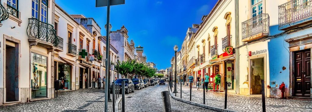
The national road EN125 and the parallel A2011 motorway, which has been subject to toll since 22, both of which are somewhat like the main arteries of the Algarve, connect Vila Real de Santo António in the east and Vila do Bispo in the west and divide the province into two unequal regions. South of the roads is the coastal strip where most of the 450.000 people who live here live and where tourism and related services are concentrated.
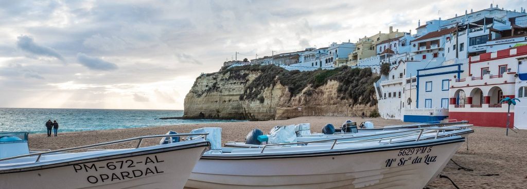
The eastern half of the coastal strip, known as Sotavento - which means “where the wind takes a break” - offers long, wide sandy beaches, lagoons and offshore islands. The western half of the coastline, the Barlavento ("the land before the wind"), is more varied.
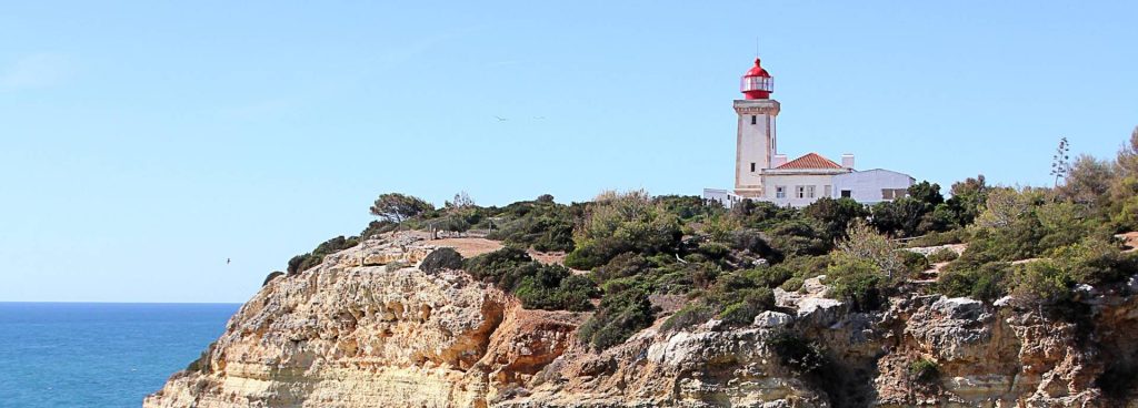
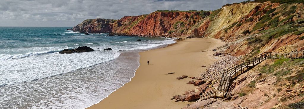
The famous coast is hollowed out and rugged. Large yellow ocher cliffs alternate with deeply indented bays. The waves have washed bizarre structures from the stone, forming grottos and caves. At Sagres, Cabo São Vicente and along the west coast, the cliffs are even bigger. They reach up to 60 m. The beaches facing the open Atlantic have fine golden sand.
To the north of the N 125, farmland extends over the hills of a promontory to low mountain ranges that are covered with pine and eucalyptus forests.
To the west is the Serra de Espinhaço de Cão. This is followed by the Serra de Monchique with its highest point Fóia, about 902 m above sea level. If you drive further east, you will find slate mountains - the sparsely populated Serra do Caldeirão and the Serra do Malhão.
A few rivers flow from the mountains: Odeceixe, Odelouca, Arade and Gilão. The Guadiana, the largest river in the Algarve, has its source in Spain and is 800 km long. It flows into the Atlantic between Vila Real de Santo António and the Andalusian city of Ayamonte.
The Algarvios are Portuguese of a special kind. Many residents have a North African-Arabic influence, which is no wonder, as the Algarve was Arabic from 711 to 1249. In addition, the province lived a secluded existence until the 20th century, only connected to the rest of Portugal by a railway line and four roads. The younger generation, like everywhere else in the world, has adapted to the European fashion trends, mainly due to the influence of tourism.
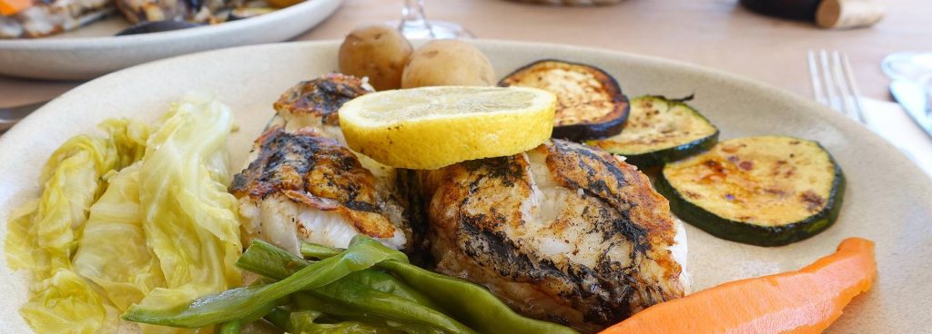
On the coast, of course, much has revolved around fishing since time immemorial, and for centuries many people have been earning their daily bread as fishermen on the sea. But there are also many farmers who farm and raise livestock.
The Portuguese are generally calm, hospitable and hardworking people. They are not overly cheerful, as is actually expected in southern areas. Their traditions and their approach to life are reflected in their music, the fado - this calm and serene music resonates above all with longing and sadness.