General Information
| Location: | approx. 17 ° west longitude, approx. 33 ° north latitude, approx. 450 km from the Canary Islands, 600 km from Africa and 900 km from mainland Portugal |
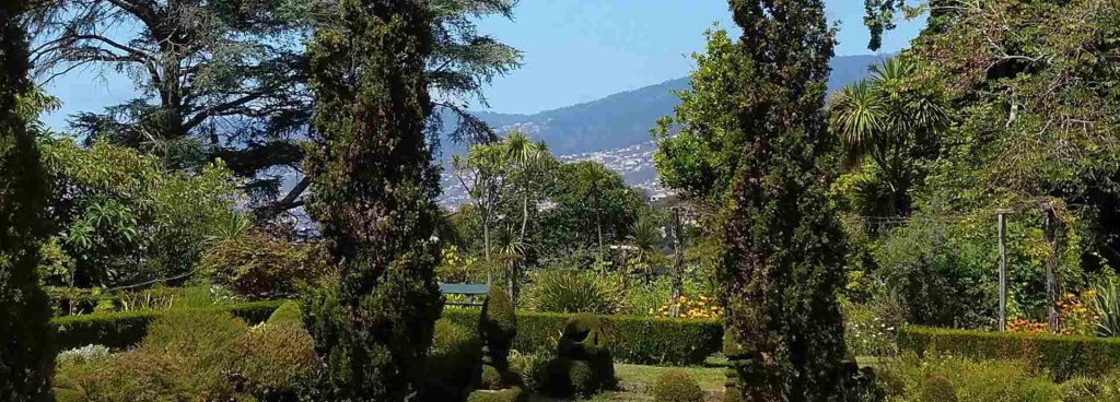
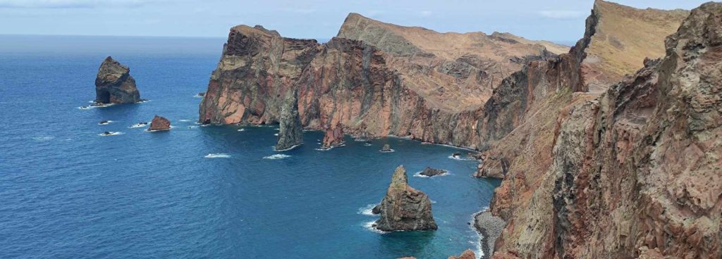
| Surface: | approx. 741 sq km, approx. 57 km long and 22 km wide Highest elevations: Pico Ruivo 1.861 m, Pico das Torres 1.851 m and Pico do Arieiro 1.818 m |
| Einwohner: | approx. 275.000 |
| Bevolkerungsdichte: | approx. 350 inhabitants / square kilometer |
| Capital: | Funchal, in the south of the island, approx. 150.000 inhabitants |
| Other municipalities: | Câmara do Lobos, approx.15.000 inhabitants Machico, approx. 18.000 inhabitants Santa Cruz, about 10.000 inhabitants Ribeira Brava, approx. 9.000 inhabitants Caniço and Ponta do Sol, each around 8.000 inhabitants Camacha and São Vicente, each about 6.000 inhabitants |
| Religion: | 99,5% Roman Catholic, few Anglicans, Protestants and Adventists |
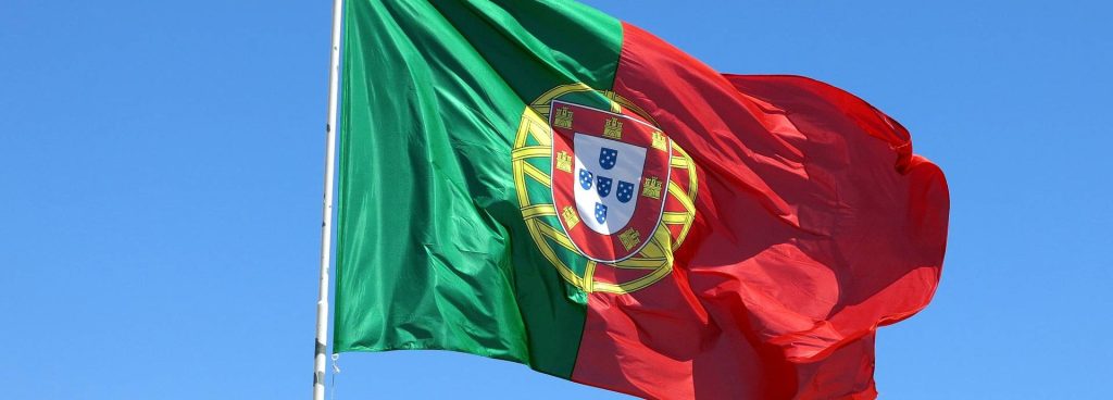
| Language: | portuguese |
| Tourism: | around 650.000 guests per year. |
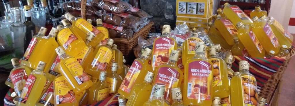
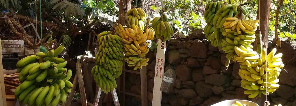
| Economy: | The number 1 industry is tourism, followed by banana cultivation, the timber industry and basketry |
| export: | Wine (1.800 hectares of cultivation area, including around 500 hectares of quality wine, mainly for export), products of typical embroidery and wickerwork |
| Autonomy: | Since 1976 Madeira has a state status within the Portuguese state = Autonomous Region Madeira |
Porto Santo profile
| Location: | about 40 nautical miles northeast of Madeira |
| Surface: | about 45 square kilometers |
| Highest elevation: | Pico do Faco, approx. 517 m |
| Main place: | Porto Santo, also called Vila Baleira, has about 2.900 inhabitants |
| Einwohner: | approx. 5.000 |
| Special: | flat southeast coast with an approx. 9 km long golden-yellow sandy beach, Columbus lived temporarily in Baleira |
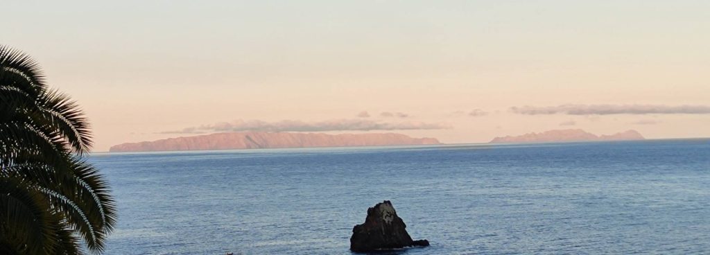
Profile of Ilhas Desertas
| Location: | about 17 nautical miles south of Madeira |
| Surface: | about 1,4 square kilometers |
| Island names: | Ilheu Chao Deserta Grande Howler |
| Special: | since 1991 sanctuary for the endangered monk seals |
The statistical information corresponds to the status of 2010