Interesting facts about the island
Mallorca has an area of 3.639 km² and a coastline of more than 300 km. The island has about 850.000 inhabitants, which means 212 per km². Mallorca is shaped like a rhombus with three large bays - Pollenca, Alcudia and Palma.
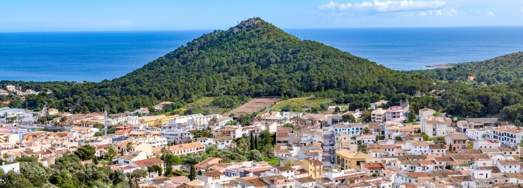
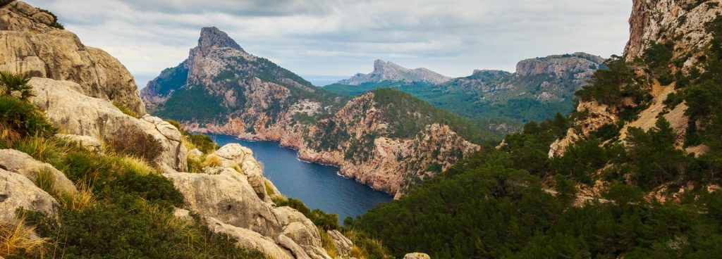
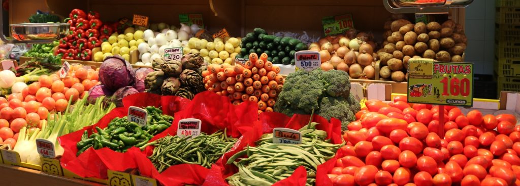
The island can be roughly divided into two large zones: the plain and the mountainous part. The plain covers the area of the south and the east of the island. Most of this plain is used for agriculture. The areas that have thousands of wind turbines and motor pumps, such as the Prat de Sant Jordi near Palma and the area near Sa Pobla, are particularly productive. The mountainous part consists of the Serra de Tramuntana mountain range, which extends from northeast to southwest and in some cases reaches a height of over 1.000 m. The highest mountain, the Puig Major, is 1.443 m high. This mountain range protects Mallorca from the cold north winds in winter. In the east, from Arta to Felanitx, there is another mountain range, the Sierra de Levante, which is, however, much lower.
There are no rivers in Mallorca. The water supply for the summer months is largely secured by the two large reservoirs in the Tramuntana Mountains.
The capital of Mallorca and the Balearic Islands is Palma with around 400.000 inhabitants. It is the economic and cultural center of the archipelago and is connected to the whole world by the sea and the airport.
Other larger cities on Mallorca are Manacor, known for its pearl factories, and Inca (leather goods industry).
Porto Cristo (dragon caves), Alcudia (well-preserved medieval city wall) and the picturesque places on the west coast such as Valldemossa and Deia are also popular.